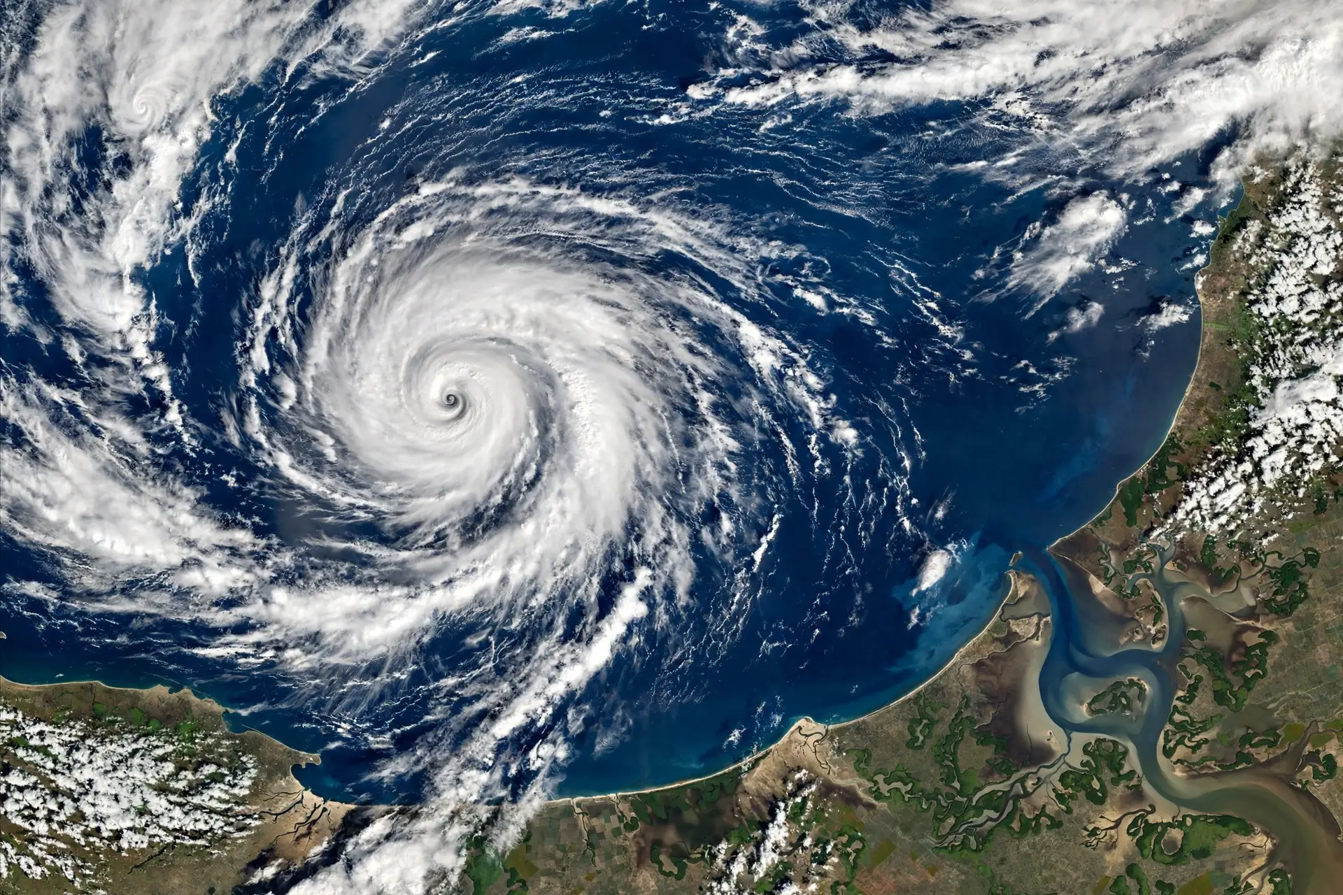


Cyclone Arnab formed over the Bay of Bengal on Monday and is heading for the Andhra Pradesh coast, where it is expected to make landfall on Wednesday morning. The India Meteorological Department said the storm would grow into a very severe cyclonic storm before it reaches land.

The system began as a deep depression over the east-central and adjoining south-east Bay of Bengal. It moved west-northwest at about 15 kilometres per hour and strengthened into a cyclonic storm on Monday, taking the name Arnab.
The name was proposed by Bangladesh, under the naming system shared by countries around the north Indian Ocean. The storm is the first named cyclone of the season in the Bay of Bengal.
The weather department said Arnab would become a severe cyclonic storm by midnight on Monday, and a very severe cyclonic storm by Tuesday morning. It is then expected to reach the west-central Bay of Bengal near the Andhra Pradesh coast on Wednesday morning.
Landfall on Wednesday
The storm is very likely to cross the Andhra Pradesh and Yanam coasts between Bapatla and Visakhapatnam by the forenoon of Wednesday, 28 October. It will cross as a very severe cyclonic storm, with maximum sustained winds of 115 to 125 kilometres per hour, gusting to 140 kilometres per hour.
At 5.30 am on Monday, the storm was centred over the east-central and adjoining west-central Bay of Bengal, near latitude 15.4 degrees north and longitude 88.9 degrees east. It was about 650 kilometres east-south-east of Visakhapatnam.
It was also about 730 kilometres east-south-east of Kakinada, 830 kilometres east of Machilipatnam and 910 kilometres east of Bapatla. The storm has been moving steadily towards the coast, and forecasters say it is unlikely to change direction.
This is a genuine follow-up to the cyclone alert issued on Sunday, when the system was still a deep depression. The new development is that the storm now has a name, a landfall window and a wind speed forecast, and both Andhra Pradesh and Odisha have moved into full preparation.
Heavy rain warning
The weather department has forecast heavy to very heavy rain, with extremely heavy rain at isolated places, over coastal Andhra Pradesh and Yanam on Tuesday and Wednesday. Heavy rain is also likely in parts of these regions on Thursday.
Thunderstorms with lightning are expected at isolated places in coastal Andhra Pradesh, Yanam and Rayalaseema. The rain will be heaviest in the northern and central coastal districts of Andhra Pradesh, which are expected to bear the brunt of the storm.
Odisha will also get heavy rain, and the state has a red alert in five districts. Leaves of disaster management staff have been cancelled, and schools in the affected districts are to be closed as a safety measure.
In Tamil Nadu, mechanised boat fishermen stayed ashore after a cyclone warning for Thoothukudi district. They were advised not to venture into the sea while the storm approaches the coast.
The Andhra Pradesh State Disaster Management Authority said the next three days would be crucial. Its managing director, Prakhar Jain, urged people to stay alert and follow official safety advice, and warned residents not to lower their guard while the cyclone kept developing.
States prepare
Andhra Pradesh Chief Minister N Chandrababu Naidu has reviewed the situation and told officials to take every step needed to limit damage and ensure there is no loss of life. Officials have been told to keep a close watch on the coast and to be ready for evacuation if needed.
Odisha Chief Minister Mohan Charan Majhi has also reviewed the situation. He told officials to give first priority to public safety, evacuation and emergency response, and the state has put its disaster response machinery on alert.
The state has 225 rescue teams deployed, and the leave of disaster management personnel has been cancelled. President Droupadi Murmu’s two-day visit to Odisha from 28 October was postponed because of the storm.
The storm comes at a time when the Bay of Bengal often produces its strongest cyclones, in the weeks after the monsoon. Forecasters will keep updating the track and wind speeds as Arnab moves closer to land, and the next bulletin will show whether the landfall point has shifted.
For now, people in the coastal districts of Andhra Pradesh and Odisha have been told to stay indoors during the worst of the weather, keep emergency supplies ready, and follow only official warnings rather than rumours on social media.