
The first significant snowfall of the season is on its way to parts of six states in the Rockies and Plains, with Alaska facing a separate round of heavy snow and strong winds. By Monday, travellers in both regions could face hazardous conditions, even where snowfall totals stay modest.
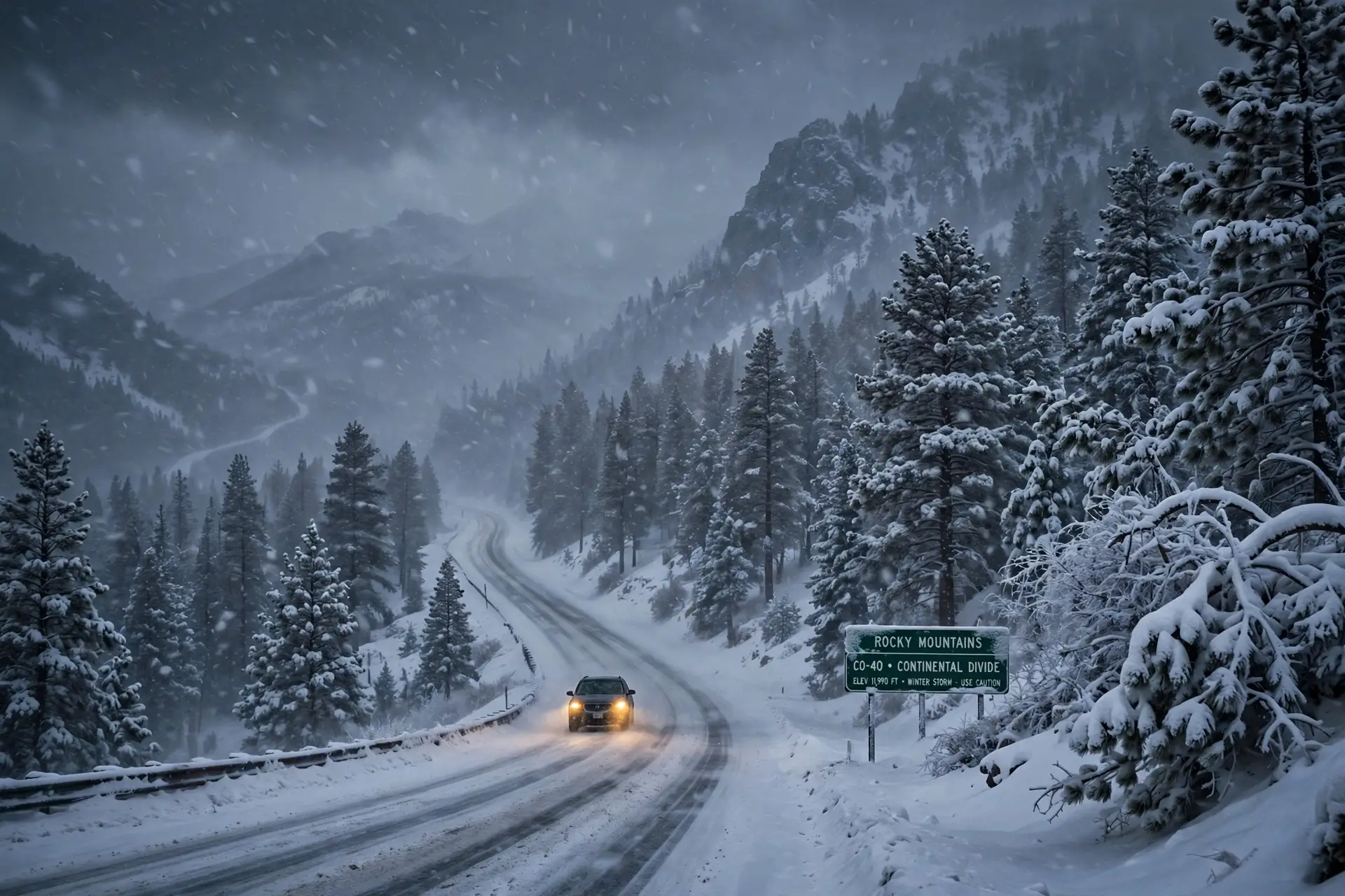
The forecast, issued on Sunday by AccuWeather, says colder air will bring snow beyond the highest mountain elevations. The states in the path of the storm are South Dakota, North Dakota, Nebraska, Wyoming, Montana and Colorado.
The forecast warns of up to 20 inches of snow in the worst-hit areas, with strong winds adding to the danger. October snow is not unusual in these states, but the first storm of the season always catches some drivers by surprise.
The National Weather Service has also issued winter storm warnings in Alaska, where up to 18 inches of snow is expected in some areas, with winds reaching 45 miles per hour.
Where snow will fall
The Black Hills of South Dakota are among the areas most likely to see snow settle. Rapid City could see its first slushy conditions of the season as the cold air moves in.
AccuWeather senior meteorologist Bob Smerbeck said there was the potential for several inches of snow to fall over the Black Hills. He added that snow could also settle from eastern Wyoming and north-western Nebraska into south-western North Dakota.
Denver and much of the Colorado River basin should escape the heaviest of the storm. The snow is expected to fall mainly in the higher ground and in the northern Plains, rather than in the big cities of Colorado.
The surprise in this forecast is where the snow could accumulate. In a normal October storm, snow stays on the mountain tops, but this system is cold enough to bring snow to lower elevations too, including parts of the Plains.
Drivers in the affected areas have been told to expect slippery roads and poor visibility. Even a few inches of early-season snow can cause problems, because many drivers have not yet changed to winter tyres or adjusted to winter driving.
Alaska warnings continue
Alaska is facing a separate round of winter weather. The National Weather Service office in Fairbanks has issued a winter storm warning for the south slopes of the Central Brooks Range, including Iniakuk Lake, Wiseman and Coldfoot.
Up to 18 inches of snow is expected there, along with winds reaching 45 miles per hour. Another four to eight inches could fall through Monday evening, adding to the wintry conditions.
The warning covers the Dalton Highway between mileposts 165 and 232. Travel in the area could be very difficult, and blowing snow could sharply cut visibility.
The Fairbanks office has also issued a winter storm warning for the Upper Koyukuk Valley, including Allakaket, Alatna, Evansville and Bettles. Forecasters expect up to 12 inches of snow in that area.
The warnings remain in effect through Monday night, ending at 10 pm Alaska Daylight Time. The weather service has told residents to prepare for travel problems and to keep emergency supplies on hand if they need to head out.
Travel advice
The first snow of the season is a reminder that winter weather can arrive early in the northern United States. In colder regions, temperatures can drop enough for snow to develop before November, even while the rest of the country is still enjoying autumn.
Forecasters advise drivers to check the weather before travelling, to allow extra time for journeys, and to keep a blanket, food and water in the car in case of delays. In the mountains, conditions can change quickly, and a clear road in the morning can be covered in snow by the afternoon.
The storm is expected to move on by Tuesday, but the cold air behind it will stay. More snow is likely in the weeks ahead as the season turns, and this first storm is only the start of winter for the Rockies, the Plains and Alaska.